The Terai plains
The Terai is the flat, low-lying strip along Nepal's southern border with India. It is hot for much of the year and intensively farmed, and it is home to forests and national parks such as Chitwan. Lumbini, Bhairahawa and Butwal all lie on or at the edge of the plains.
Butwal sits where the plains meet the first ridges, so travelling north from there towards Tansen, you feel the land begin to climb almost at once.
The middle hills
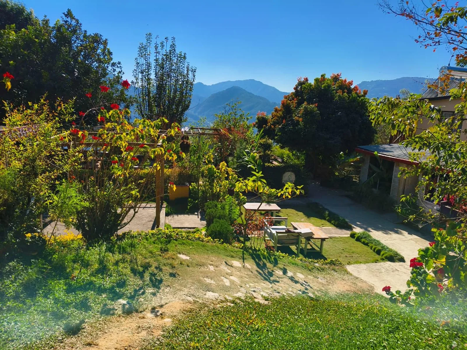
Between the plains and the high peaks lies a wide band of ridges and valleys known in Nepali as the pahad, or hills. Much of Nepal's population has lived here for centuries, and it holds the Kathmandu Valley, Pokhara and Tansen. Terraced fields of rice, maize and millet step down the slopes, and towns and villages often sit along ridgelines.
The climate is milder than on the plains: warm days for much of the year, cooler nights and chilly winter mornings, sometimes with mist in the valleys.
The high mountains
In the north rise the Himalaya, with snow peaks, glaciers and high valleys where villages are smaller and further apart. This is trekking country. From the middle hills on a clear day, especially in autumn and winter, you can sometimes see the snow peaks on the horizon; see our guide to Himalayan views from Tansen.
What this means for your trip
Moving between the bands takes time. Hill roads twist, climb and descend, and a few hours can take you from the heat of Butwal to the cooler air of Tansen. Pack layers, and allow extra time during the monsoon, when hill roads can be slow.
Bulbul Farm Retreat is in the middle hills near Tansen, with garden views towards distant hills. For what the weather is like through the year, read Tansen weather by season.